Fort William Guide
Fort William online guide - a guide to the Fort William area including where to stay, where to eat, whats on and of course Ben Nevis info
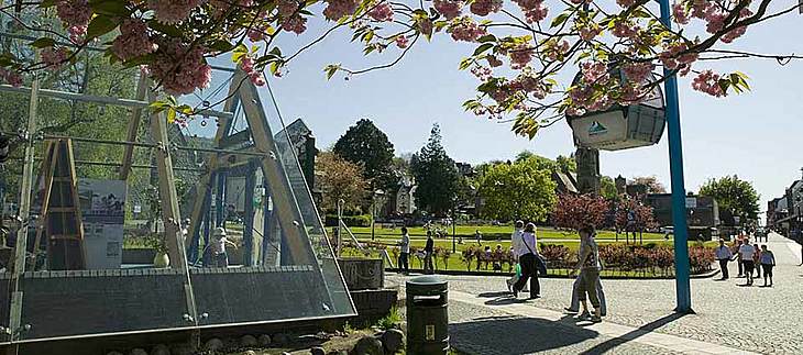
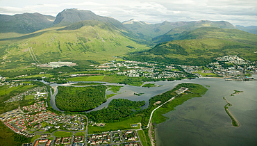
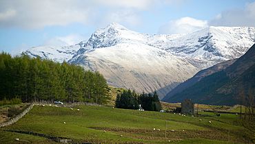
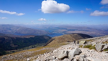
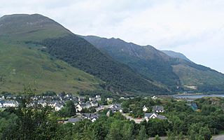
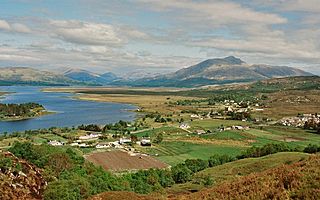
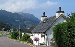
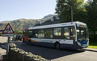
Fort William and Glen Nevis is a comparatively small rural community. We just happen to be located at the foot of the highest mountain in the UK. This section of the Fort William guide website offers an insight into our community and how you can easily get about and visit different villages.
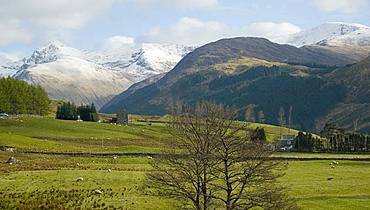
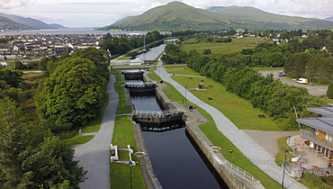
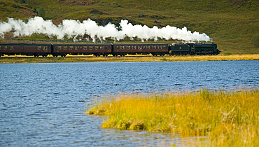
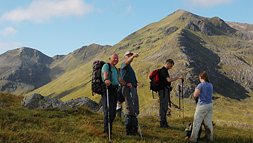
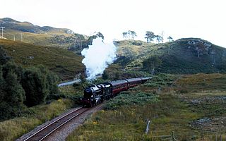
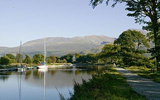
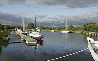
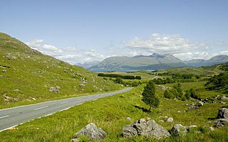
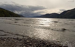
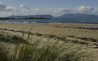
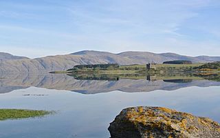
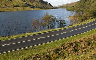
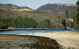
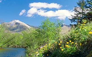
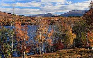
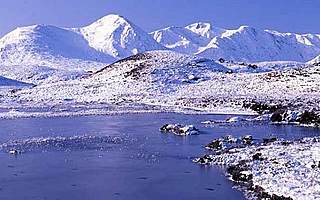
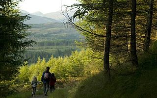
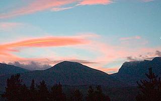
When the railway came to town in 1890 many Victorian travellers visited the Highlands for the first time - some even arrived by paddle-steamer and went on to cruise along The Caledonian Canal and then into Loch Ness at Fort Augustus. Ben Nevis has been the main source of attraction ever since. The surrounding area is very beautiful with mountains and glens, forests, sea lochs and of course - the Caledonian Canal. All these features provide a vast resource of outdoor recreational activity opportunities.
When the railway came to town in 1890 many Victorian travellers visited the Highlands for the first time - some even arrived by paddle-steamer and went on to cruise along The Caledonian Canal and then into Loch Ness at Fort Augustus. Ben Nevis has been the main source of attraction ever since. The surrounding area is very beautiful with mountains and glens, forests, sea lochs and of course - the Caledonian Canal. All these features provide a vast resource of outdoor recreational activity opportunities.
View our interactive map to see locations around Fort William
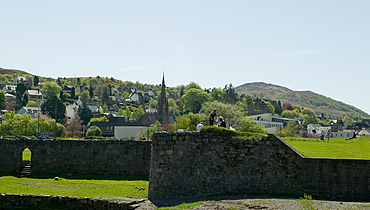
The Fort that later became known as Fort William was constructed in 1654 but, apart from fairly minor though bloody skirmishes, was not threatened until the Jacobite Rebellion of 1745. The aftermath of Bonnie Prince Charlies defeat at Culloden changed the Highlands for ever. Later, Telford's Caledonian Canal was opened to merchant shipping in 1822 which also developed tourism travel for the Victorians. In 1926 The Britsh Aluminium Company opened a smelter to produce aluminium using hydro-power for the process. This brought people to work in Fort William. Later, in the 1960s and 70s paper processing, forestry and fish-farming helped to develop Fort William's population and economy.
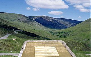
Fort William and Glen Nevis also lie on a geological fault line which makes the topography so interesting and stunning. Fort William is located at the southern end of The Great Glen, where the sea meets the Rivers Nevis and Lochy.
The links on the left hopefully will help provide a clear picture of life in and around Fort William and Glen Nevis. More history info can be found in the History & Culture section.
